Photos
|
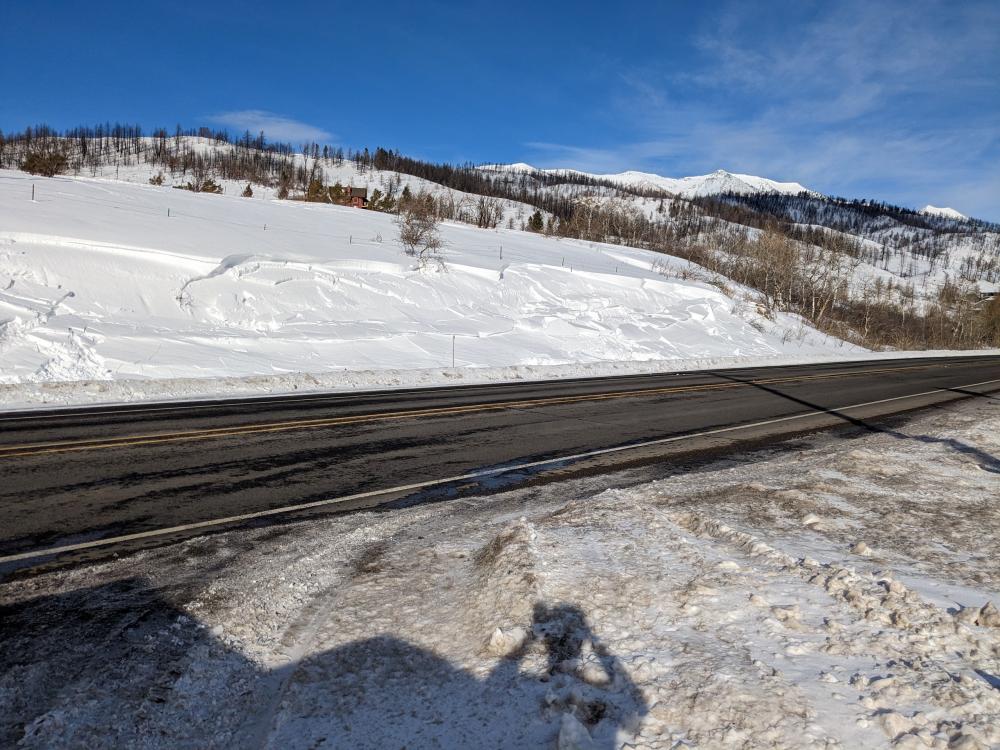
Cooke City, 2023-02-12 2/10/23: "After looking all day saw an R1D2 slide (see 2nd photo) on a ENE slope above 10,000' south of Lulu pass, unknown trigger, though the whole area around the slide had cornice growth. We observed a lot of tracks highmarking into windloaded alpine slopes but saw no rider triggered avalanches." Photo: S. Regan Link to Avalanche Details |
|
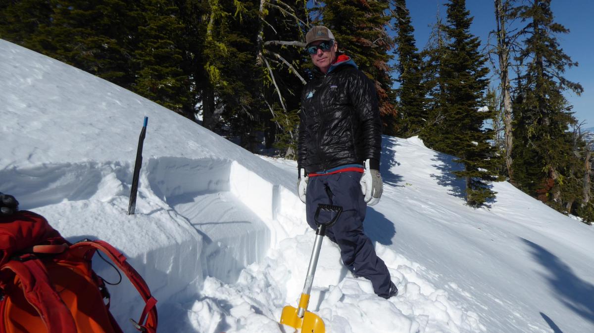
Bridger Range, 2023-02-12 Karl Birkeland got an ECTP9 under a wind slab on the Throne. We could feel the hard slab and softer, weaker snow under it with our ski pole. Photo: GNFAC |
|
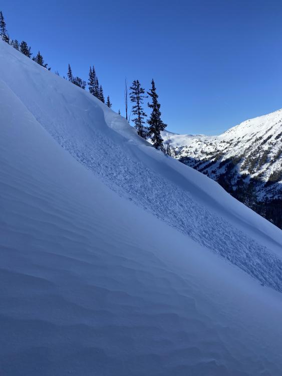
Bridger Range, 2023-02-12 We founds areas that were scoured to the dirt and adjacent areas loaded from the wind. The evidence of strong wind was everywhere. Photo: GNFAC |

|
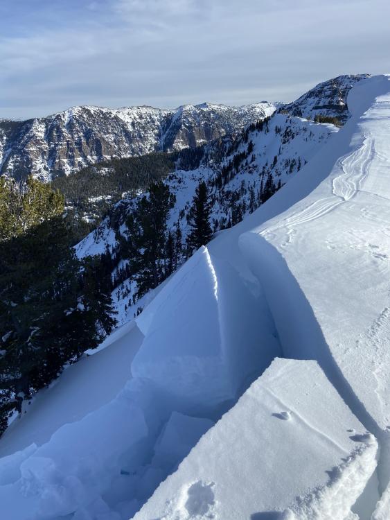
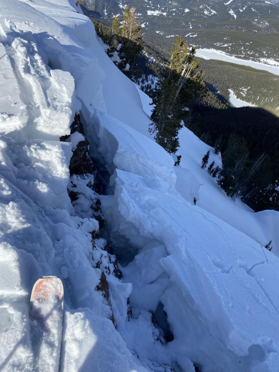
Bridger Range, 2023-02-12 At the ridgetop of the Throne we found deep wind slabs that had cracked naturally; a sign of instability. Photo: GNFAC |
|
Northern Gallatin, 2023-02-12 From obs. 2/11/23: "...Also of note, as we traversed a corniced ridge later in the day, two of our group members simultaneously came too close to the edge of a cornice and it broke away, but did not fall down the slope. Fortunately, everyone was alright, but it was a close call..." Photo: E. Heiman Link to Avalanche Details |
|
Cooke City, 2023-02-10 On our 3rd lap on the North Side Burn in Sheep Creek, we traveled up the ridge to take a look at the steeper terrain to the west along the ridge. From our protected vantage point, we could see a recent wind slab that appeared to release naturally some in the past 24 hours. The crown was obscured, but I would code the avalanche as SS-N-R1-D1-S. The avalanche was approximately 3-6" deep, 25' wide, and ran for ~60'. Link to Avalanche Details |
|
Southern Madison, 2023-02-10 From obs: "This afternoon my group of 4 was riding up out of Tepee Creek heading towards Cabin Creek and I set off this small slide on a northeast facing slope as I was coming down it. The slide broke about a foot deep on top of the packed layer of snow and was 150-200' wide at the crown. Thankfully it slid slowly, less than 100' and I was able to ride out of it. ' Link to Avalanche Details |
|
Northern Gallatin, 2023-02-07 Me and a buddy were out skiing/camping in the Hyalite Lake area. Late Saturday afternoon we started skinning up towards Hyalite Peak. The path up to the ridge was super hardpacked and windswept. We got up and there was quite a bit of snow loaded above the north slope. I dropped over the side and took about two turns before the entire face above me released from the very top and traveled down the entire north side down to the bowl below. I was able to get to the rocks on the side and my partner was able to pick his way down. The crown looked a few feet deep from what I could see and stretched across the entire top of the line. Link to Avalanche Details |
|
Bridger Range, 2023-02-07 One maybe two distinct seemingly natural large natural slab avalanches on small slope directly next to bridger canyon drive. One on the lookers left was likely cornice triggered, but on the right it's unclear to me if it propagated or released naturally. Link to Avalanche Details |
|
Cooke City, 2023-02-07 We rode up Yale Creek and into Mt Jefferson Bowl. Walking to the edge we triggered an avalanche (intentional) on a slope that was getting wind-loaded. It broke up to 1.5 feet deep, 250 feet wide and 50 feet vertical. The new wind drifts were sensitive to triggering and the slabs propagated wide. Weak layers at the old snow surface may have helped us remotely trigger the slope. The two things to look out for in the Centennials are weak layer of sugary snow or feathery surface hoar in the upper 3 feet of the snowpack and slopes that are freshly wind-loaded. Link to Avalanche Details |

|
Cooke City, 2023-02-06 On 2/6/23 there was a small snowmobiler triggered slide on a convex bench between Sheep Mtn. and Round Lake that was triggered this afternoon. It was 1.5-2' deep, 30' wide, and looked to have broke on a weak layer below last week's snow, on a freshly wind-loaded slope. In a relatively shallow, rocky area. Photo: GNFAC Link to Avalanche Details |
|
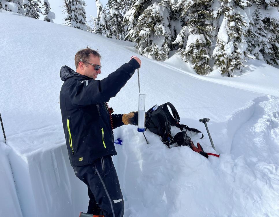
Island Park, 2023-02-06 Dave Zinn measures snow water equivalent to see how much weight was added to the snowpack from the recent storm in Island Park. Photo: GNFAC |
|
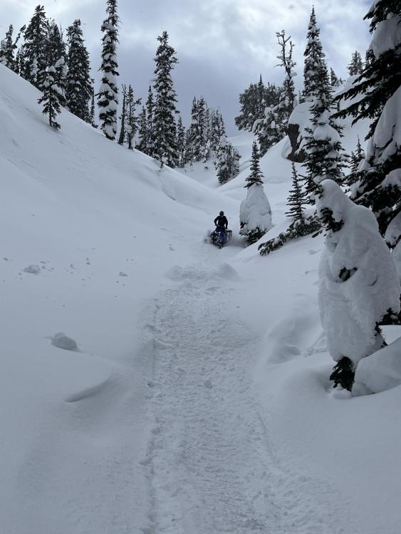
Island Park, 2023-02-06 We rode down a narrow gully to get into the head of Yale Creek in Island Park. We descended one at a time, just in case our assessment was wrong. There was older debris in the gully. Photo: GNFAC |
|
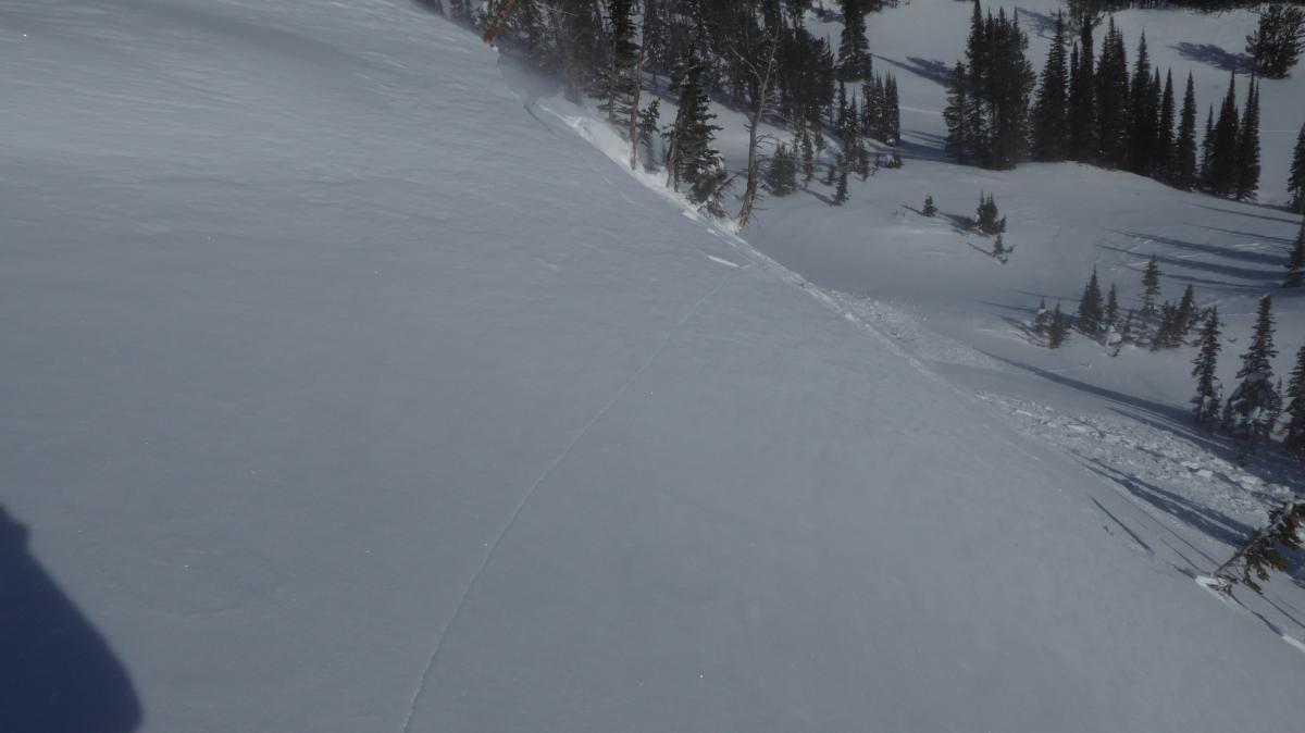
Northern Madison, 2023-02-05 On 2/4/23 we saw evidence of a large avalanche that broke during the avalanche warning last weekend in Going Home Chute, R3-D2.5 (see photos). It appeared to have run to the end of the runout zone and tipped over small trees. Photo: GNFAC Link to Avalanche Details |